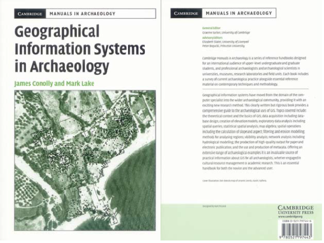
Connoly, J. & M. Lake. 2006. Geographical Information Systems in Archaeology. – Cambridge Manuals in Archaeology. Cambridge University Press, United Kingdom
Abstract
Geographical Information Systems (GIS) have been described as “the most powerful technological tool to be applied in archaeology since the invention of radiocarbon dating” (Westcott & Brandon, 2000: 135), but also as “a technology without intellectual vigour, overly dependent on simple presuppositions about the importance of spatial patterns in a dehumanized artificial space” (cf. Pickles, 1999: 50–52). James Connoly (Trent University, Canada) and Mark Lake (University College London) both have several years’ experience of working with GIS and teaching GIS to archaeology students. In their new book ‘Geographical Information Systems in Archaeology’ (in the ‘Cambridge Manuals in Archaeology’ series), they adopted an approach that is both practical and rigorous. The manual focuses on the kinds of problems that are routinely faced by archaeological users of GIS.
Although the authors do not envisage many readers methodically working their way through the manual from start to finish, they have tried to maintain a logical progression such that topics are introduced in roughly the order that they might be encountered in the course of developing and using an archaeological GIS. The authors first introduce some theoretical issues and provide an overview of the ‘first principles’ of GIS: the software and hardware requirements, geodetic and cartographic principles and GIS data models. As the archaeological user is – in general – not an expert in cartography or computer graphics, this first chapter is extremely useful. How do the geographical coordinates we daily use in our archaeological work relate to the position on the Earth’s surface? This is explained in an in–depth description of map projections systems, coordinate transformations and grid systems. The chapter concludes with a good overview of raster and vector data structures and their inherent (dis)advantages. Read more...


